|
|
3D Geographical Enviroments and Geospatial Data Exploration using Flight Simulators and Geodatabases
3D visualization of topographic environments and associated geospatial information allows the exploration of a diversity of geographic phenomena (global climate changes, environment disaster prevention, ecological studies, and real time remote sensing and tracking). Also, the use of geodatabases is a powerful tool to perform qualitative and quantitative data interpretation. Both contribute to increase the analysis capabilities and to understand these and other complex subjects to be addressed.
This goal can be achieved integrating the technology of flight simulators together with geodatabases and scientific visualization. This allows a virtual navigation of real or synthetic geographic environments, the dynamic updating based on the navigation state (flight attitude, position and speed), and the graphic representation of abstract ancillary data (i.e., climate data). The topographic environment may contain also information about terrain features, and georeferenced objects (facilities, geographical accidents, roads, etc.) Furthermore, additional data layers can be added from other available information sources related to Earth sciences repositories. In this work we develop this new approach to real time 3D visualization of topographic environments and associated geospatial information, using flight simulators, scientific visualization, and geographical database technologies, and taking advantage of the emerging GPU computational power.

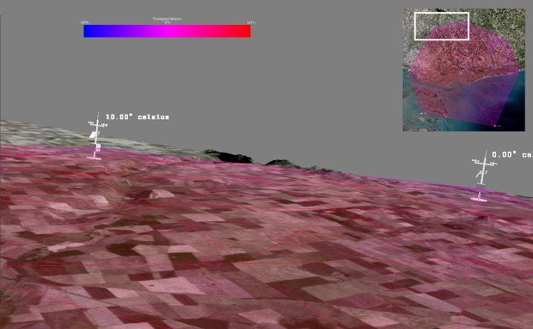
3D Visualization of a region of Bahía Blanca, Argentina. Perspective view of a temperature field over the topography.

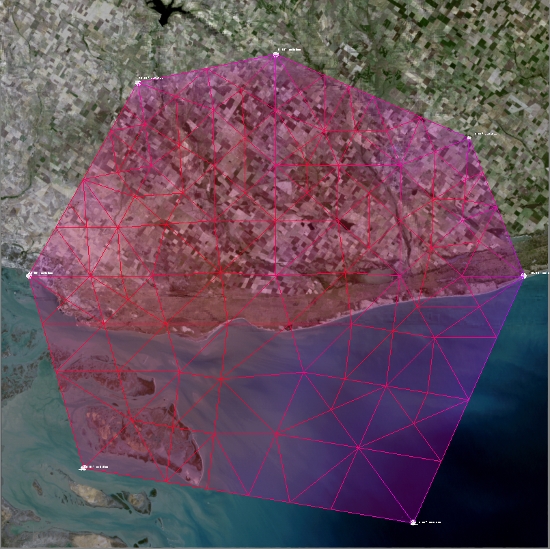
3D Visualization of a region of Bahía Blanca, Argentina. Top view of a temperature field over the topography.
|